
Mt. Athos Offline Hiking Map
by Nakas Road Cartography
Version 100+
📅 Updated Learn More
The absolute offline field guide for Mountain Athos
Features Mt. Athos Offline Hiking Map
The application Mt.
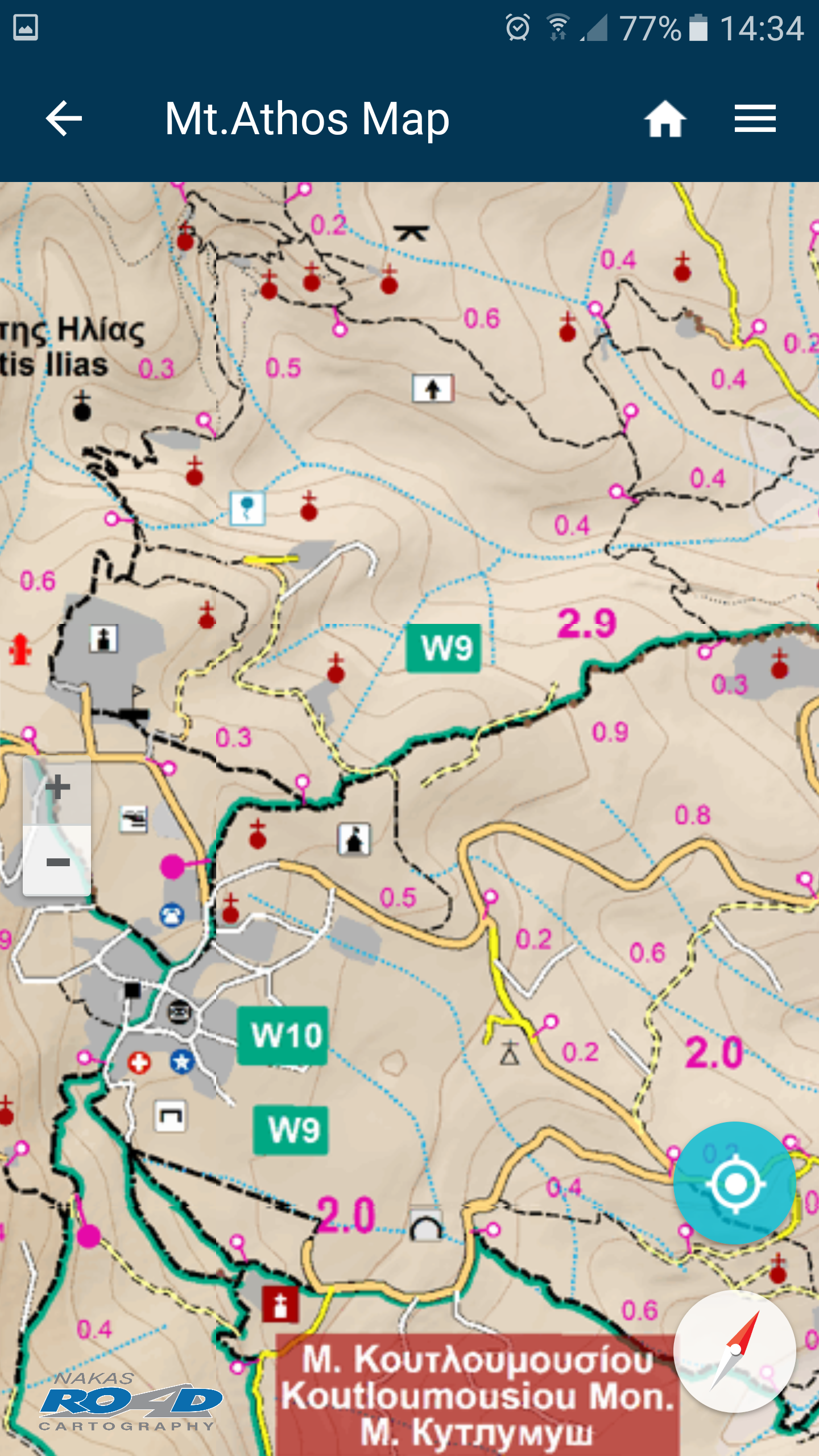
Athos Offline Hiking Map is a pure offline digital field guide for Mountain Athos.
The application is part of Offline Mapping Project of the Nakas Road Cartography, a company member of Nakas Group.
The Offline Mapping Project is the implementation of the Co-Creative team’s Vision to develop a comprehensive set of autonomous digital field guides in accordance with the requirements of its user community.The app contains high resolution digital maps with five zoom levels (1: 250.000 – 1: 15,000), compressed to 35.6 ΜΒ.
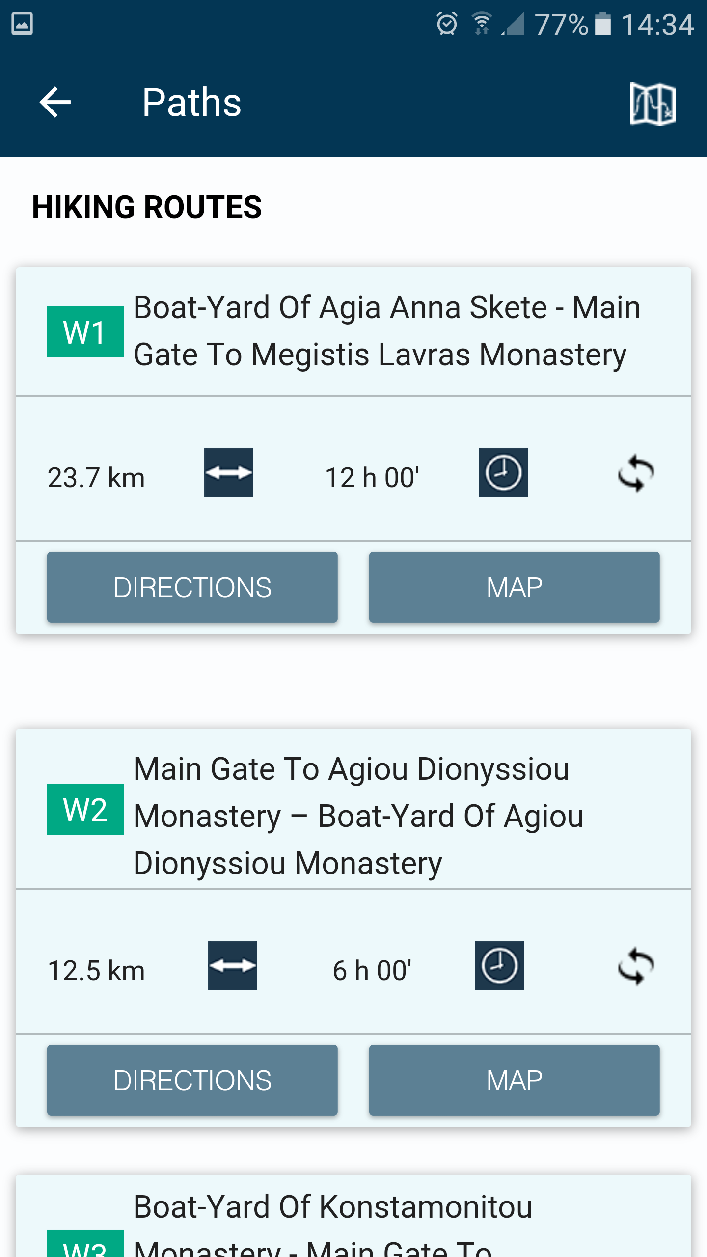
Also, contains a detailed description of 15 trails of Mountain Athos and compass functionality.
When the user is in the field, the application provides the user with contextual information with instructions, based on criteria of location (device GPS) and its direction.
Moreover, the application informs the user about the destination’s distance and the estimated time of arrival.
Secure & Private
Your data is protected with industry-leading security protocols.
24/7 Support
Our dedicated support team is always ready to help you.
Personalization
Customize the app to match your preferences and workflow.
See the Mt. Athos Offline Hiking Map in Action


What Our Users Say
Don't just take our word for it. Here's what our users have to say about our Android app.
"Not working on Android 9. Lost money. Also, too bad that the map is a slowly loading raster image insead of a vector graphic or format. I guess it's still work in progress. Haven't used it yet as I bought after leaving Mt. Athos. I'm also very familiar with Mt. Athos and I don't really needed it."
Daniel Grigoras
"The most comprehensive Mount Athos map I've used. Very good."
Plamen Petkov
Get the App Today
Available for Android 8.0 and above